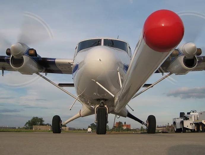
Aerial Survey and Mapping
Our specialized fleet, reliable equipment, and extraordinary pilots exceed the demanding standards set forth by IAGSA. Rampart Aviation, LLC (Rampart), together with our technical partners, have been successfully acquiring Full Tensor Gravity Gradiometry, Magnetic and LiDAR surveys since 2008.
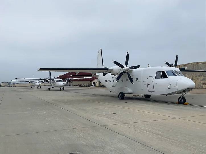
Rampart Aviation currently operates specially designed aircraft for international geophysical survey operations. The aircraft are currently fitted with:
- LiDAR
- Full Motion Video (FMV)
- Full Tensor Gravity Gradiometer
- Magnetic Sensors
Rampart’s surface mapping & geophysical survey aircraft are capable of worldwide deployment for oil and mineral survey and can generate 3D maps for use in subsurface exploration operations.
COMMERCIAL SERVICES
Rampart conducts full-scope aviation support operations for a variety of commercial customers worldwide. Our 24/7 Flight Operations Center provides flight following services across the U.S and internationally, offering continual coverage for all points of operation.
To meet customer needs, aircraft are configurable to meet passenger transport requirements for seating with a capacity of up to 30 seat configurations. Our aircrews are experienced with passenger transport and manifest procedures, thresholds for passenger/cargo load limits, and 30-minute offloading Maximum on Ground (MOG) requirements.
For Cargo transport requirements, our aircraft can be configurable to meet cargo mission parameters. Rampart is experienced with on-demand import and export compliance procedures and licenses involved in shipping, including related inventory, condition, manifesting, and hazardous material transport.
Rampart provides on-demand domestic and international air charter transportation services for both ad-hoc and longer-term passenger, cargo, and combined movements. Rampart provides these services commercially for domestic cargo transportation services supporting the United Parcel Service (UPS).